HOW FJORD WALLS WERE MADE
When you stand on the shoreline of Nærøyfjorden or look up at the 1,000-meter diorite and gneiss faces of Lysefjorden, your eyes register the upper half of a glacial trough. The lower half lies submerged beneath brackish water, extending hundreds of meters further down into solid continental crust. Including every fjord indentation and island perimeter, Norway’s coastline stretches past 100,915 kilometers—a fractal geometry controlled by two distinct geological epochs separated by 400 million years.
1. THE ANCIENT BLUEPRINT: CALEDONIAN FRACTURE LINES
Glaciers did not carve Norwegian fjords at random angles. If you plot the orientation of Western Norway’s major fjords—Hardangerfjorden, Sognefjorden, Nordfjord, and Storfjorden—on a structural geology map, they align closely with northeast–southwest and north–south fault systems formed during the Caledonian Orogeny (roughly 490 to 390 million years ago) and subsequent Devonian extensional collapse.
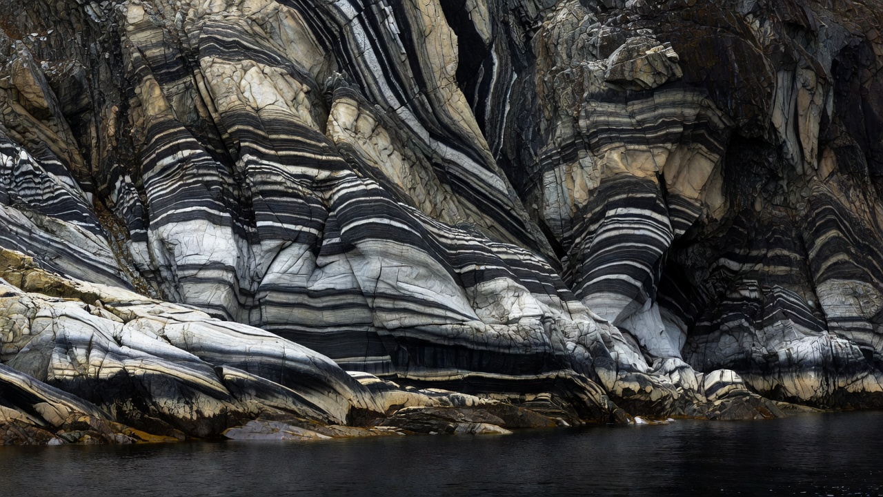
When the ancient continents Baltica and Laurentia collided, rocks were thrust, folded, and sheared under extreme pressure, creating banded gneisses, granites, and schists crisscrossed by brittle joints and crush zones. Hundreds of millions of years later, when Cenozoic cooling initiated over 30 cycles of Quaternary glaciation across Fennoscandia, advancing ice streams followed these pre-existing zones of weakness where fractured rock offered the least mechanical resistance.
2. OVERDEEPENING AND THE PHYSICS OF ENTRANCE SILLS
A river cannot erode its bed significantly below sea level because it loses kinetic energy as soon as it meets the ocean. A glacier, however, is a viscous solid whose erosive power depends on ice thickness and basal sliding velocity. Inside narrow mountain valleys, tributaries of ice converged into trunk glaciers more than 1,500 meters thick. The immense weight kept the ice grounded on the bedrock floor far below sea level, plucking blocks and grinding the trough downward.
As the ice stream approached the open outer coast, two things happened: the valley widened out onto the strandflat and continental shelf, and the ice thinned until it began to float and calve into icebergs. Because the glacier thinned and spread laterally near the coast, its downward erosive force dropped sharply. It left behind a high bedrock ridge—often capped by terminal moraine boulders and gravel pushed up during the Younger Dryas cold reversal (approx. 12,800–11,600 years ago). That submerged ridge is the fjord sill (terskel).
| Fjord System | Max Basin Depth (m) | Primary Sill Depth (m) | Geological Threshold Type |
|---|---|---|---|
| Sognefjorden | 1,308 m (near Høyanger) | 160 m (Sygnefest) | Crystalline bedrock ridge + outer skerry sill |
| Hardangerfjorden | 860 m (Samlafjorden) | 150 m (Bømlafjorden) | Fractured metamorphic sill + Younger Dryas moraine |
| Lysefjorden | 422 m (central basin) | 13 m (Lauvvik entrance) | Shallow glaciofluvial sand and boulder moraine |
| Trondheimsfjorden | 617 m (Agdenes) | 195 m (outer threshold) | Multi-sill basin system (Agdenes, Tautra, Skarnsund) |
3. THE STRANDFLAT AND POST-GLACIAL ISOSTATIC REBOUND
Walk inland a hundred meters from many Norwegian coves and you can find rounded beach cobbles and fossilized marine bivalve shells (Mya truncata) embedded in clay terraces 50 to 200 meters above today’s high-tide mark. When the ice sheet melted, the crust—which had been depressed into the Earth’s mantle by the weight of the ice—began rebounding upward.
Below the former marine limit, glacio-marine clays settled in quiet water. When uplift raised these clays above sea level, freshwater rainwater gradually leached out the salt ions that held the clay platelets together in a stable house-of-cards structure. The result is Norwegian quick clay (kvikkleire), which can liquefy under mechanical disturbance and trigger both terrestrial and submarine landslides into adjacent fjords.
Even harder bedrock walls remain dynamically unstable once glacial ice no longer buttresses their steep flanks. At sites such as Åkneset above Sunnylvsfjorden and Mannen in Romsdalen, extensometers, radar interferometry, and borehole sensors continuously measure millimeter-scale rock-slope creep to warn coastal communities against displacement tsunamis (flodbølger). See how multibeam sonar maps ancient rockslide debris on the fjord floor →