THE JOURNEY OF COASTAL WATER
Every liter of seawater off the Norwegian coast carries a chemical signature of where it originated. By lowering a CTD sonde to measure electrical conductivity (salinity), temperature, and pressure, oceanographers can distinguish at least three distinct water masses stacked or braided along the coast: Baltic-derived surface water, meltwater-modified fjord water, and high-salinity North Atlantic water arriving across the Iceland–Faroe–Shetland ridge.
1. TWO NORTHBOUND HIGHWAYS: THE NCC AND NWAC
The Norwegian Coastal Current (NCC) originates in the Skagerrak where brackish water exiting the Baltic Sea mixes with discharge from Southern Norwegian rivers such as the Glomma and Drammenselva. Driven by pressure gradients and constrained against the right-hand coastline by the Earth’s Coriolis force, the NCC travels northward as a buoyant wedge 50 to 150 meters deep and 20 to 100 kilometers wide.
During winter, cold continental winds chill this fresh surface wedge while snow lies locked in the mountains; the NCC becomes narrow, deep, and fast. In late spring and summer, rapid snowmelt pours down steep fjord catchments, lowering surface salinity and spreading the NCC further offshore as a wider, thinner surface layer.
Seaward of the NCC, hugging the steep topography of the continental shelf break (such as Storegga off Møre and the Vesterålen shelf edge), flows the Norwegian Atlantic Current (NwAC). Carrying roughly 7 to 8 Sverdrups (million cubic meters per second) of water warmer than 6°C and saltier than 35.0 PSU, this current releases vast quantities of latent and sensible heat into the westerly winds blowing over Scandinavia.
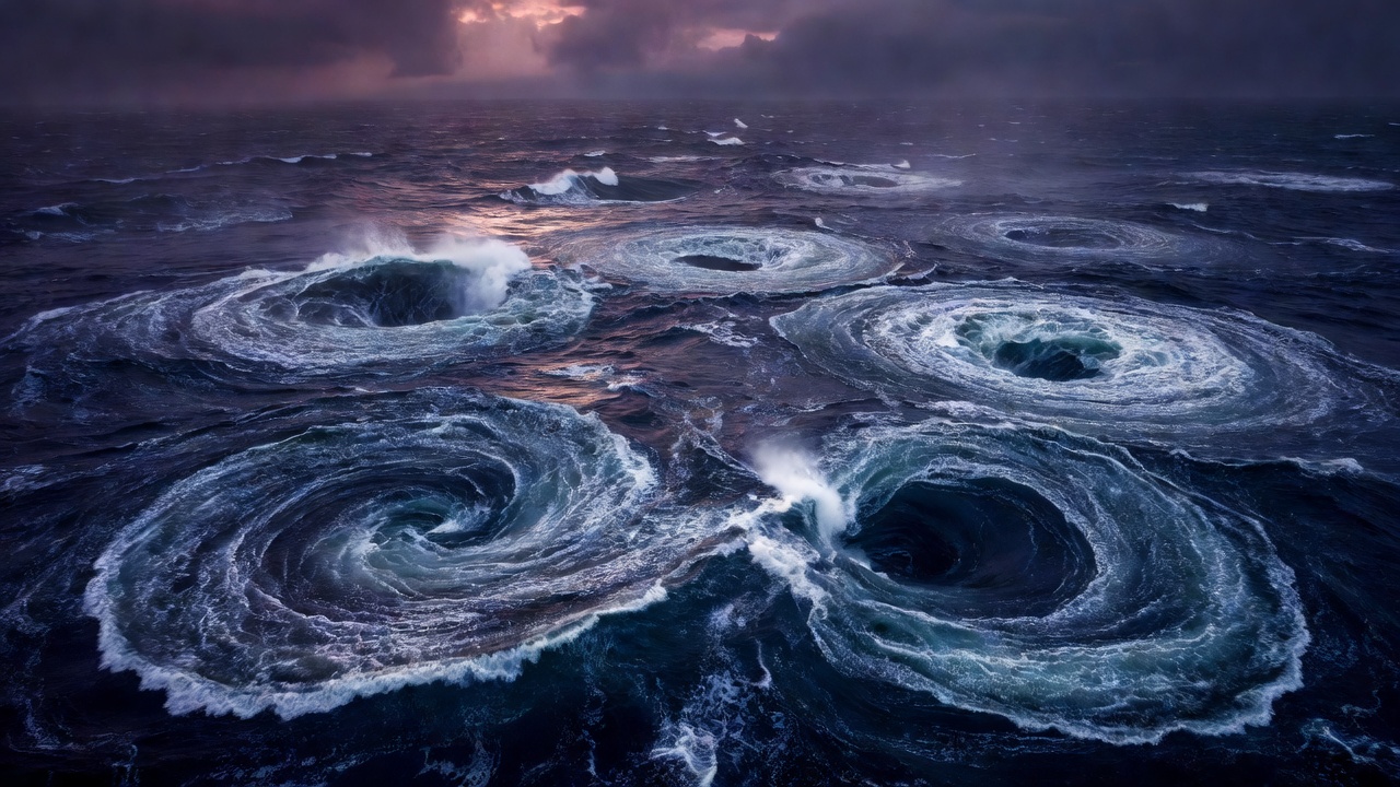
2. ESTUARINE CIRCULATION AND DEEP BASIN RENEWAL
Inside a fjord, river inflow creates a classic three-layer circulation system. As fresh river water flows seaward at the very surface, turbulence at its lower boundary entrains saltier water from below. To replace the salt exported out of the fjord in that upper layer, an intermediate counter-current must flow inward just beneath the surface wedge (typically between 10 and 60 meters depth).
Consequently, a drifting planktonic larva at 3 meters depth is swept out toward the open coast, while an organism descending to 25 meters depth is carried back toward the head of the fjord.
What happens below sill depth (for instance, between 200 meters and 1,000 meters)? Because density increases with salinity and decreases with temperature, the deep basin fills with the densest water that has recently crossed the sill. Over months or years, slow vertical diffusion and bacterial decomposition of sinking organic matter gradually reduce both the density and the dissolved oxygen concentration of that trapped bottom water.
Renewal occurs when persistent northerly or easterly winds along the outer coast push light surface Coastal Current water offshore (Ekman transport), allowing cold, salty, high-density Atlantic water to well up above the height of the fjord sill. Once this dense water spills over the threshold, it cascades down the inner slope like an underwater waterfall, lifting the older, oxygen-depleted basin water upward and replenishing the seafloor environment.
3. INTERNAL TIDES AND STRAIT HYDRAULICS
When the barotropic tide pushes stratified water back and forth across a sharp submarine sill, it generates internal waves along the pycnocline (the density boundary between fresh upper water and salty lower water). While a surface wave at the pier may only rise 1.5 meters, an internal wave at 30 meters depth can oscillate 15 to 25 meters vertically, bathing sessile filter feeders in nutrient-rich deep water every 12 hours and 25 minutes. Discover how marine organisms exploit these moving water boundaries →